Key Points:
- Date of Event and Size of It: Big Half community half-marathon will happen on Sunday, September 6, 2026 and it will attract thousands of people who will come from four London Boroughs: Tower Hamlets, Greenwich, Southwark and Lewisham.
- Start Time: Ordinary people will begin their 13.1 mile run at 08:15 and then elite people will start at 08:30.
- Brief Course Description: Fast and flat 13.1-mile road race starts near Tower Bridge and runs through Limehouse, Canary Wharf, a circuit around Wapping, back over Tower Bridge, via Rotherhithe and ends at Greenwich next to Cutty Sark.
- Related Events: Apart from half-marathon there are two other events that will take place on that day – New Balance Big Relay where four-person teams complete 5K laps and The Big Mile which is a free participation event in Greenwich.
- Road Closures: Large arteries as well as surrounding avenues including The Highway, West India Dock Road, Tooley Street, Jamaica Road and Creek Road will be closed at different times between 06:00 and 16:00.
- Public Transport Information: Organizers encourage spectators and participants to use public transport but Cutty Sark DLR station is likely to be very busy that’s why organizers recommend using other stations such as Greenwich, Maze Hill and Deptford stations.
London (Extra London News) September 4, 2026 – Thousands of runners, joggers, and walkers are gearing up for the capital’s premier community running festival this Sunday, September 6, 2026, as detailed by reporter Abigail Mahoney of MyLondon. Established initially in 2018, the vibrant 13.1-mile half-marathon event spans four distinct London boroughs—Tower Hamlets, Greenwich, Southwark, and Lewisham—highlighting London’s rich cultural diversity. With participation figures reaching massive scales, authorities and event organisers have laid out an extensive logistical framework covering precise route maps, sweeping vehicle restrictions, and critical transport advisories to ensure smooth navigation for both residents and tens of thousands of spectators.
- Key Points:
- What is the exact route map for the Big Half 2026?
- Which roads will be closed during the Big Half 2026?
- Are there designated vehicle crossing points for local residents?
- Which London Underground and DLR stations should spectators use?
- What additional events are taking place alongside the Big Half marathon?
What is the exact route map for the Big Half 2026?
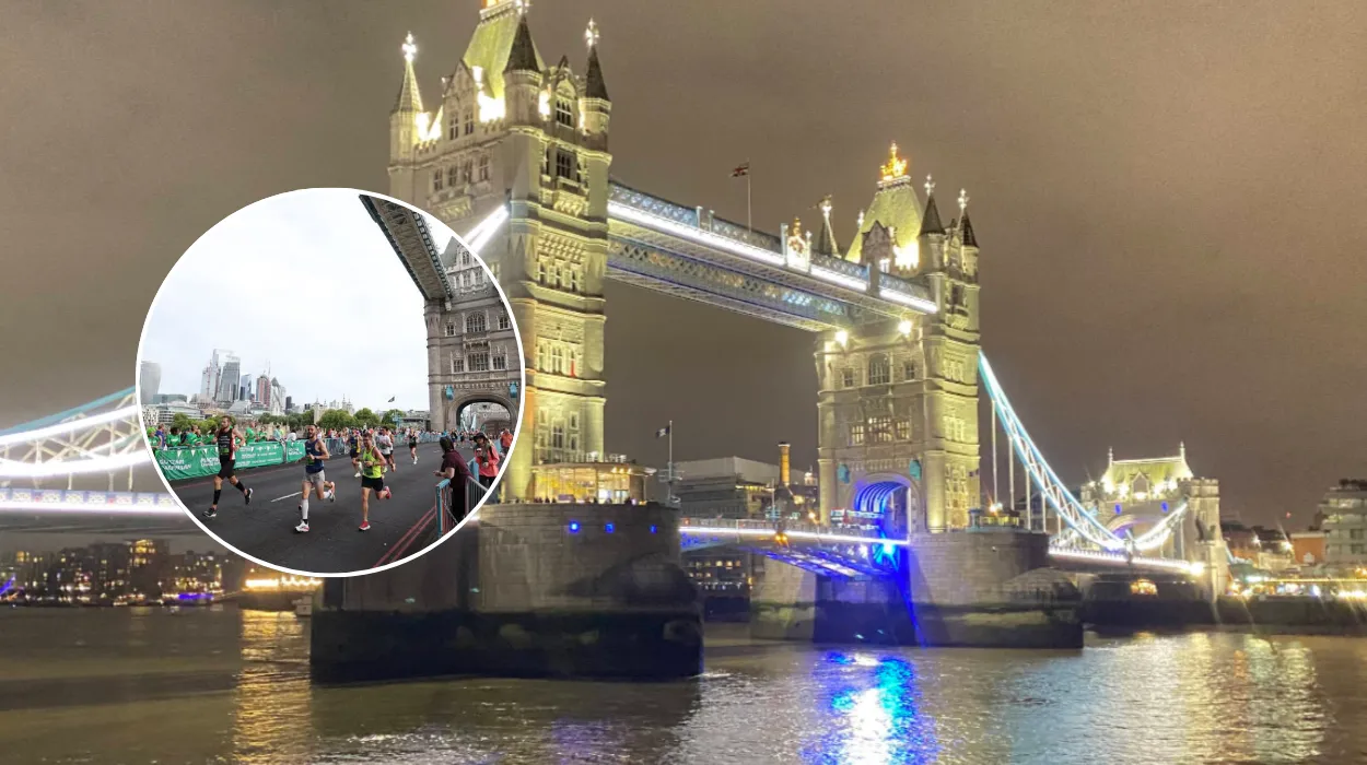
As outlined by Abigail Mahoney of MyLondon, the 13.1-mile course begins near Tower Bridge on The Highway, offering participants an iconic backdrop right from the opening whistle. From the starting line, runners forge ahead through Limehouse before driving toward Canary Wharf.
After navigating the commercial hub of Canary Wharf, the route loops and heads directly toward Wapping. Competitors then pivot back around to cross over Tower Bridge for a second time, treating both runners and onlookers to exceptional panoramic views of the city skyline.
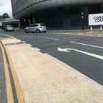
Continuing south of the river, the course pushes through Rotherhithe, Bermondsey, and Deptford before reaching its grand finale. As reported by MyLondon, the finish line is situated next to the iconic historic ship, the Cutty Sark, in Greenwich, where vibrant crowds are anticipated to gather and cheer participants across the mat. Additionally, organisers have set up an accessible viewing area near the finish line at Cutty Sark with no barriers, providing heightened visibility and comfort for spectators with disabilities.
Which roads will be closed during the Big Half 2026?
To maintain participant and spectator safety, extensive road closures, parking suspensions, and footpath blocks will remain in strict operation throughout Sunday, September 6, 2026. As detailed in official data reported by MyLondon, advanced warning signs and yellow closure alerts have been erected along the affected pathways.
The primary road closures are catalogued across staggered operational windows:
- The Highway, Butcher Row, West India Dock Road, Trafalgar Way, Churchill Place, North Colonnade, Upper Bank Street, Bank Street, Heron Quays, South Colonnade, Canada Square, Cabot Square, West India Avenue, Westferry Circus, Westferry Road, Salter Street, Limehouse Causeway, Narrow Street, Garnet Street, Wapping High Street, and Thomas More Street: Scheduled to close from 06:00 until 14:00.
- Tooley Street, Jamaica Road, Brunel Road, and Salter Road: Scheduled to close from 06:00 until 15:00.
- Deptford Church Street: Closed from 06:00 until 15:00.
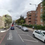
- Creek Road, Greenwich Church Street, College Approach, King William Walk, Nelson Road, Greenwich South Street, Greenwich High Road, Romney Road, and Trafalgar Road: Closed from 06:00 until 16:00.
- Haddo Street: Subject to local restrictions from 12:30 until 15:30.
As further highlighted by MyLondon, parking bays along the entire route are heavily suspended, and local vehicle owners are strongly advised to relocate their transport off the track prior to 04:00 on event day. Any vehicles left stranded on the route are subject to forced relocation, with drivers instructed to check the official trace.london portal to locate moved automobiles.
Explore More London Local News:
Ealing Business Festival Returns to University of West London Ealing 2026
Met Police Detective Charged with Sexual Assault in London 2026
Are there designated vehicle crossing points for local residents?
Understanding that local residents and business owners may find themselves landlocked due to the scale of the half-marathon, event organisers have arranged specific managed vehicle crossing points. These designated corridors allow vehicular traffic to break across the route during secure operational pauses.
As reported by Abigail Mahoney of MyLondon, the controlled crossing locations and their respective temporary closure intervals include:
- Vaughan Way to Dock Street: Closed to general vehicles from 08:15 to 10:45.
- Wapping Lane to Cannon Street Road: Closed from 08:15 to 10:45.
- Glamis Road: Closed from 08:15 to 12:20.
- St Katharine’s Way: Closed from 08:15 to 12:40.
- Three Colt Street: Closed from 08:25 to 12:05.
- Shad Thames, Mill Street, and Bevington Street: Closed from 08:35 to 13:10.
- West Lane: Closed from 08:35 to 13:20.
- Canon Beck Road and Rotherhithe Street (Lagado Mews): Closed from 08:40 to 13:30.
- Worgan Street to Deal Porters Way: Closed from 08:45 to 14:05.
- Lower Road (via Plough Way to Rotherhithe New Road) and Plough Way to Rotherhithe New Road: Closed from 08:45 to 14:15.
- Rainsborough Avenue to Alloa Road: Closed from 08:45 to 14:20.
- Prince Street to Abinger Grove: Closed from 08:50 to 14:25.
- Deptford High Street to Watergate Street: Closed from 08:50 to 14:30.
- Creekside to Gonson Street and Norman Road to Norway Street: Closed from 08:55 to 15:15.
On-site marshals, police officers, and stewards will maintain supervision at all standard pedestrian crossing points throughout the day, enabling citizens to cross safely when gaps in the runner field permit.
Which London Underground and DLR stations should spectators use?
With extensive road closures rendering private car travel virtually impossible across central and southeast London sectors on Sunday, MyLondon strongly advises all spectators and participants to rely completely on public transport networks.
For individuals targeting the start line near Tower Bridge, optimal London Underground and rail stations within close proximity include Fenchurch Street (approx. 600m to 900m away), London Bridge (900m), Cannon Street (900m), Tower Hill (District Line and DLR), Liverpool Street (900m to 1.3 miles), Moorgate (1.1 to 1.5 miles), Blackfriars (1.6 to 2.1 miles), and Waterloo (1.6 miles).
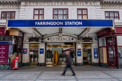
For supporters planning to catch the action or greet loved ones at the dramatic finish line near the Cutty Sark, transport planners issue a vital caution. As reported by MyLondon, the Cutty Sark DLR station is projected to experience extreme congestion levels throughout the afternoon. Consequently, authorities suggest that spectators leverage alternative nearby national rail and DLR options—such as Greenwich station, Maze Hill station, or Deptford station—and complete the final leg on foot to alleviate terminal overcrowding.
What additional events are taking place alongside the Big Half marathon?
The Big Half 2026 is far more than a solo elite showcase; it is designed as a broad festival of running that accommodates diverse athletic capabilities and ages. Beyond the main 13.1-mile community half-marathon—which features a strict four-hour completion cut-off window—organisers have integrated complementary programs to maximize public involvement:
- The New Balance Big Relay: As highlighted by MyLondon coverage, this collaborative format enables teams consisting of up to four individuals to break down the total half-marathon distance collectively, with each participant tackling an individual 5K leg of the authentic course.
- The Big Mile: Aimed at families and younger demographics, this completely free, fun-filled mass participation event takes place locally within Greenwich, culminating near the identical Cutty Sark finish infrastructure to inspire community fitness across generations.
With community group members, charity fundraisers, and thousands of everyday runners coming together, the 2026 iteration continues to cement its reputation as one of the capital’s most inclusive and energetic sporting fixtures. Attendees and locals are encouraged to check final updates via official event channels before setting out on Sunday morning.